


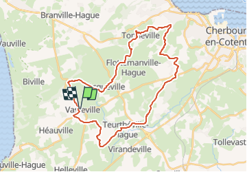

29 km | 35 km-effort


Utilisateur


Application GPS de randonnée GRATUITE
 SityTrail
IGN / Instituts géographiques
SityTrail World
Le monde est à vous
Randonnée V.T.T. de 33 km à découvrir à Normandie, Manche, La Hague. Cette randonnée est proposée par tracegps.
35 km de VTT en nocturne. D'autres renseignements sur la Team Choumac Bike.
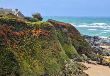
Marche

Marche
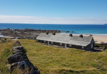
Marche

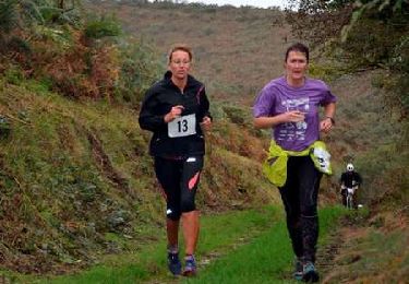
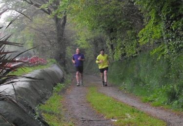
Course à pied
V.T.T.

V.T.T.
V.T.T.

V.T.T.
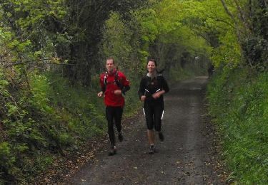
Course à pied